Heat Watch
Elevate your city's resilience to extreme heat with CAPA's Heat Watch program—a dynamic initiative that empowers communities to map and mitigate urban heat islands.
Community Science
Engage local residents in meaningful data collection, fostering education and empowerment in extreme heat action.
Strategic Collaborations
Convene stakeholders from government agencies, non-profits, universities, and other groups with a specific focus on heat resilience.
Precision Mapping
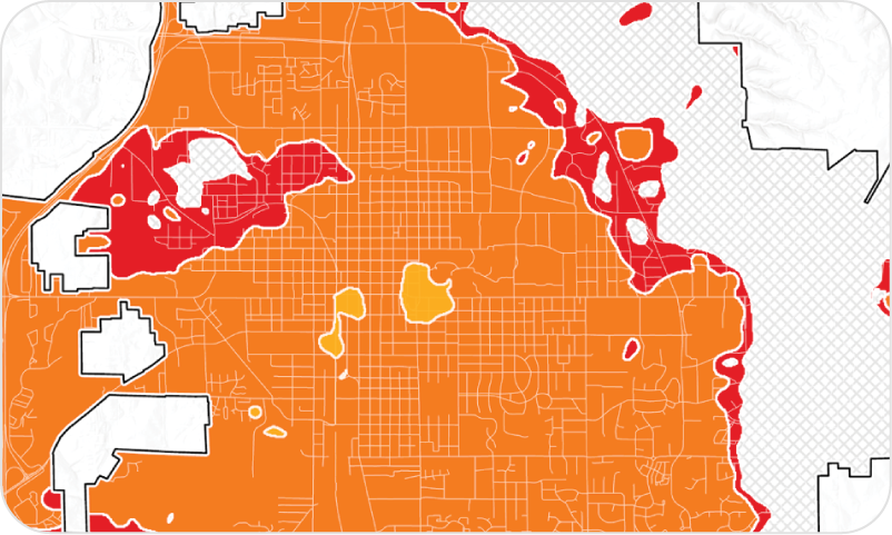
Utilize CAPA’s mobile sensors to achieve granular, 10-meter resolution maps of ambient air temperature and heat index across your region.
Peer Learning Network
Join a cohort of cities each summer, sharing insights and strategies to address urban heat challenges collectively.
Report Example
Center for Collaborative Heat Monitoring (CCHM)
CAPA Strategies is proud to serve as the implementation partner for the Center for Collaborative Heat Monitoring (CCHM)—a NOAA Center of Excellence focused on advancing community-based approaches to heat monitoring and resilience. Through this partnership, CAPA supports the planning, execution, and analysis of heat monitoring campaigns in collaboration with cities and community organizations nationwide.
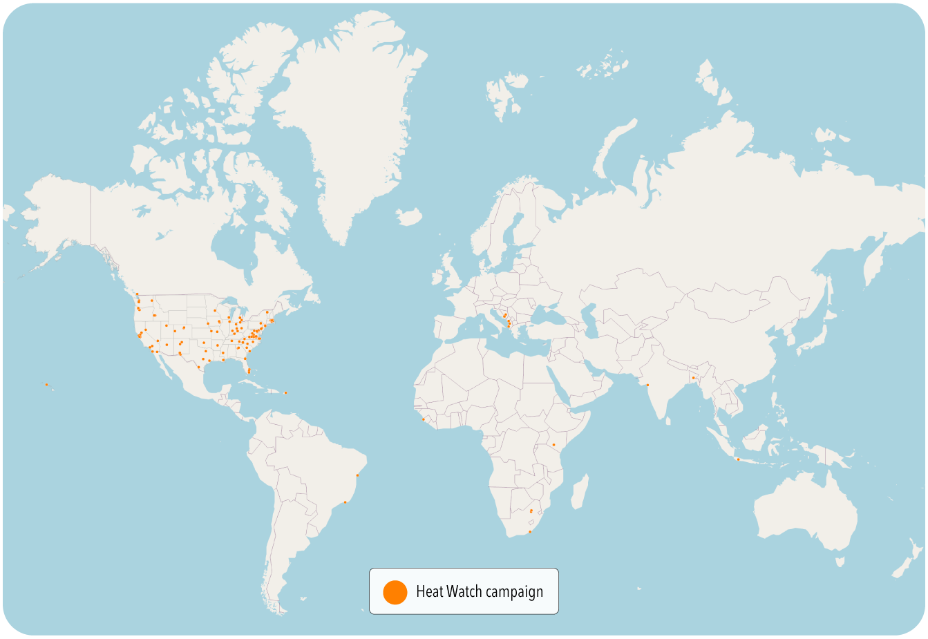
Since 2018, Heat Watch campaigns have been conducted in over 120 communities globally, creating actionable data and fostering stronger local capacity to respond to extreme heat.
Click to visit the CCHM website
Stay connected with ongoing efforts through the
Heat Beat Newsletter.
Project Example
Surat, India

CAPA collaborated with The
Mahila Housing Trust and the
World Bank to launch a women-led heat mapping campaign in Surat, India. The initiative aimed to understand and address the impact of urban heat on vulnerable communities in Surat. The project integrated heat data collected by community scientists with global climate models and historical meteorological data to examine heat exposure across Surat and into the future. Learn more about the project and findings in the Story Map below.
Check Out Our Heat Watch Add-Ons


Air Quality Monitoring
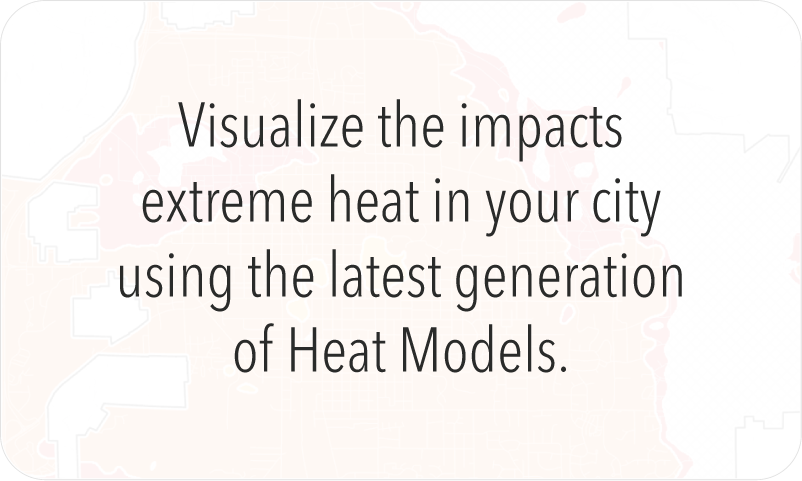
Extreme Heat Projections
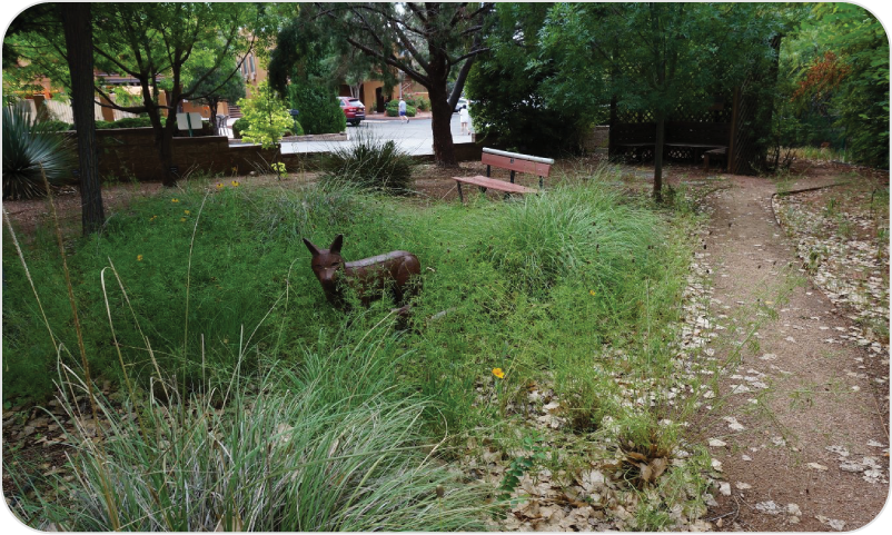
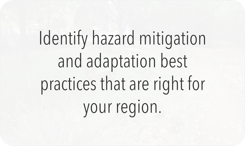
Intervention Guidebook