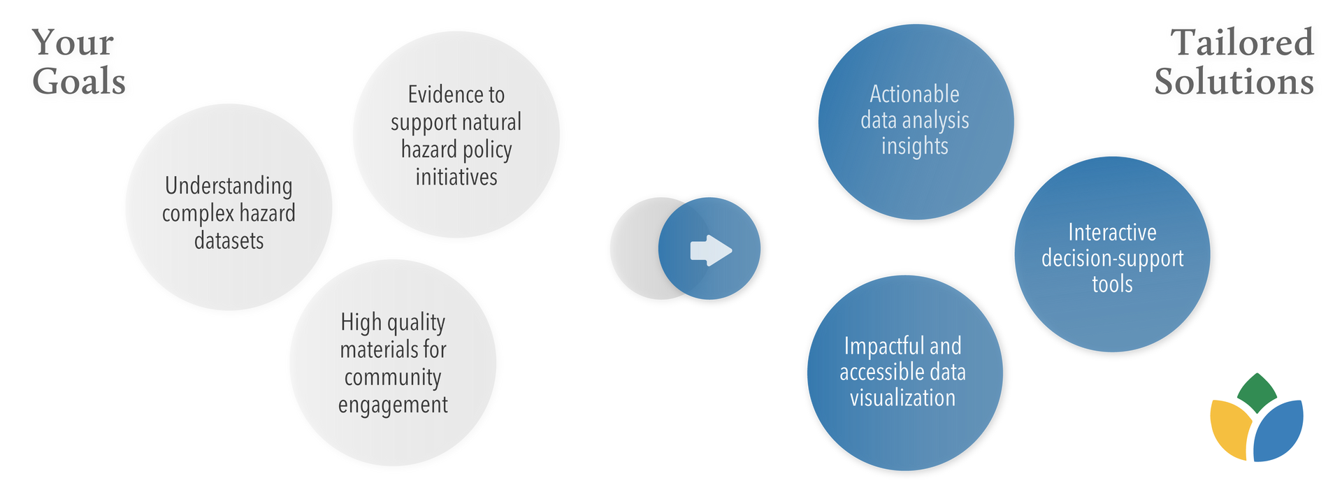
Spatial Analysis & Data Visualization
Our comprehensive suite of spatial analysis and data visualization product offerings empowers informed decision-making and effective hazard communication. Our Insights Dashboard provides customizable access to critical natural hazard variables and sociodemographic data, enabling stakeholders to track trends and assess risks flexibly and on-the-fly. With Scenario Modeling, users can explore potential outcomes and plan adaptive strategies.
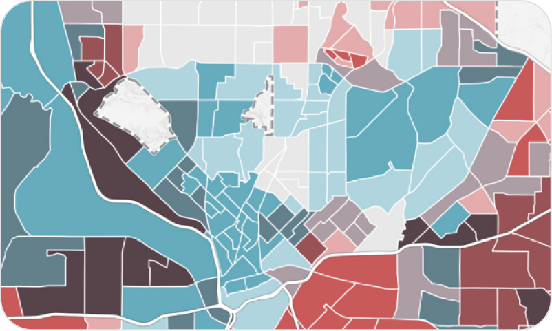
Health & Social Assessment
Characterize hazard vulnerability through the lens of socio-demographic and health components.
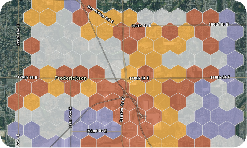
Land Cover Assessment
Generate summaries of hazards by land cover, tree canopy, or land use to examine trends and intervention opportunities.
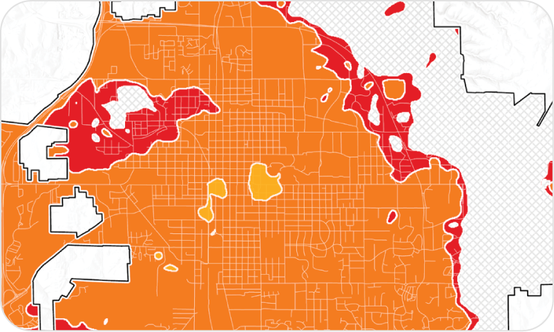
Extreme Heat Projections
Visualize the impacts of extreme heat in your city or region through 2100. Evaluate multiple scenarios for resilient planning.
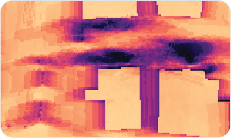
Neighborhood Heat Modeling
Understand how potential heat solutions impact thermal comfort at a micro-scale using a mean-radiant temperature model.
Hazard Adaptation Consulting
CAPA provides tailored consulting services to meet your unique needs, from research design and decision-support tools to implementation guidance and hazard assessments. Have a specific project in mind or a hazard-related topic you would like to explore?
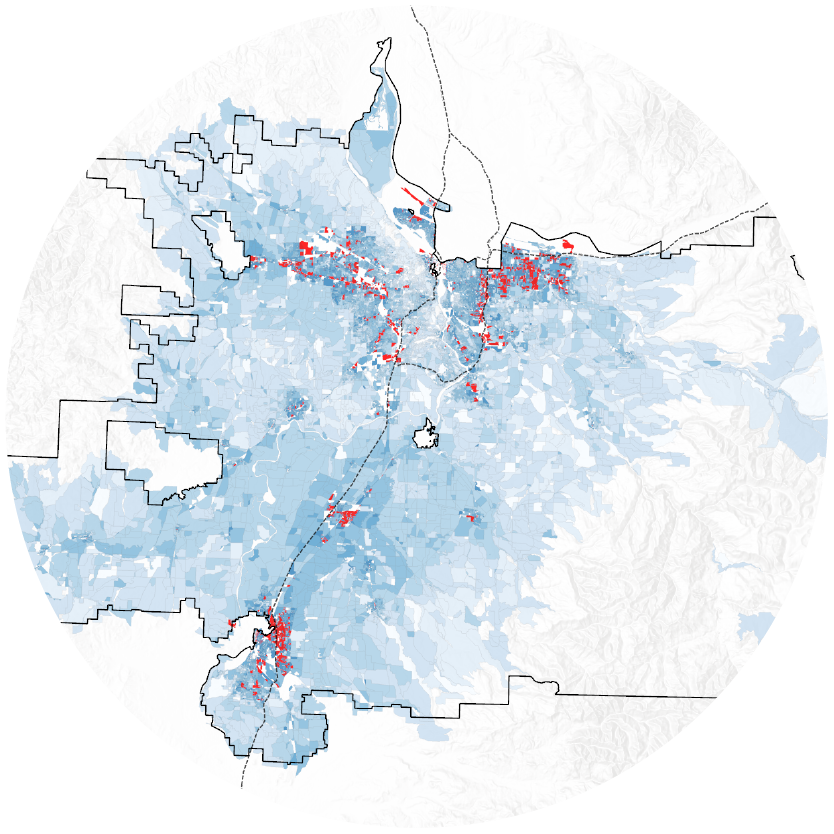
Portland, OR
Extreme Heat and Energy Use
In 2023, CAPA worked with a regional utility to analyze energy usage patterns during the 2021 Heat Dome and beyond. CAPA produced a spatial index of heat vulnerability and analyzed hourly energy use by sociodemographic category to produce insights of variability across populations.
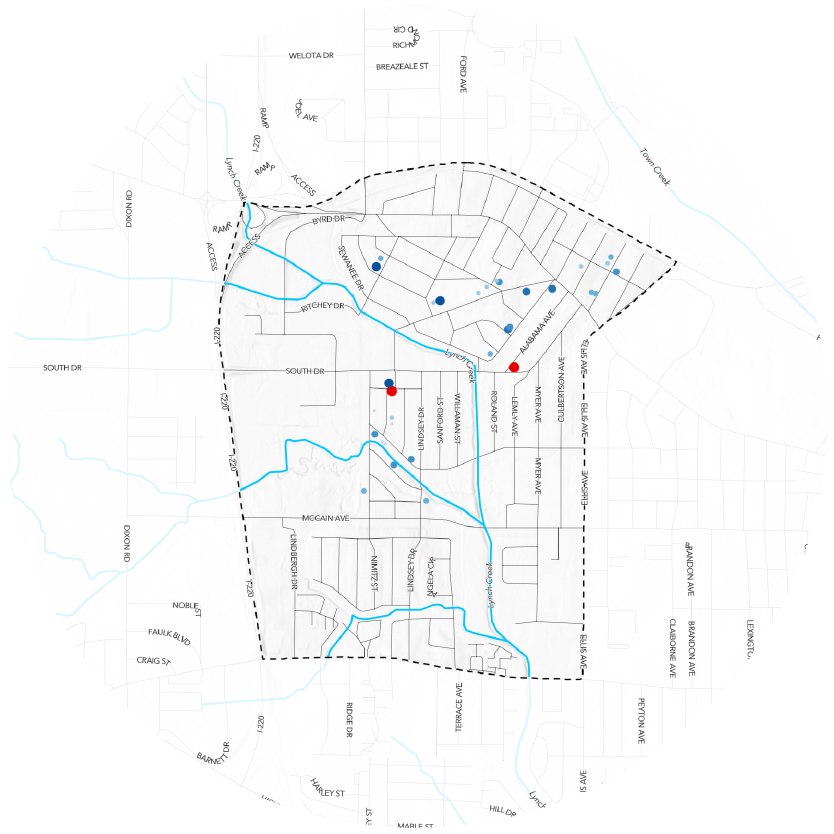
Jackson, MS
Jackson Microparks
In order to address frequent flooding in the West Jackson neighborhood of Mississippi, CAPA performed a hydrological and site suitability analysis to prioritize the most impactful sites for building green stormwater infrastructure. An interactive web tool enabled 2C Mississippi to explore the analysis results.
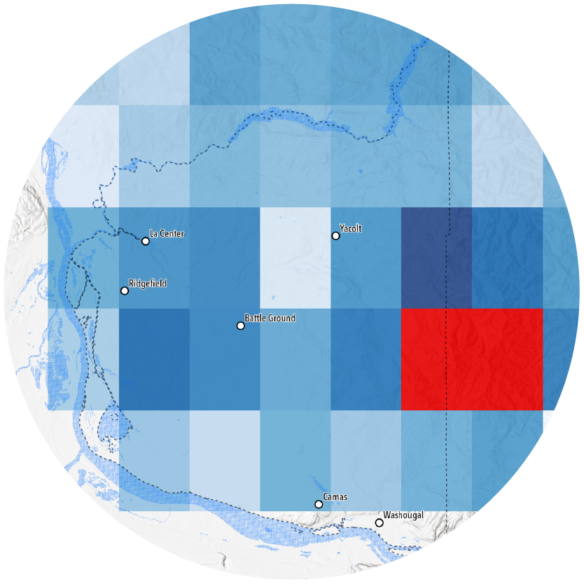
Clark County, WA
Clark County Climate Planning
Using high-resolution hazard projection data, CAPA programmatically analyzed and then visualized the local and regional impacts of community-prioritized hazards in partnership with multiple jurisdictions in Clark County.